Exploration — pedaling my bike in places I’ve never been before — is my favorite facet of this incredibly diverse sport that we collectively call “mountain biking.” The thrill of the unknown hidden around the next corner has kept me going for over 20 years. There’s always a new trail to explore, and if you’ve ridden all the trails in your hometown, then it’s time to hop in the van for a road trip.
In the early years, traveling to ride new trails and check new destinations off my to-do list was a massive motivating force for me. I’d log onto Strava and see the new squiggles in my heatmap, mark the trails as ridden on Singletracks and Trailforks, and sometimes check off another state or country on a spreadsheet. But after exploring that way for so many years, an idea surfaced that I just couldn’t get rid of.
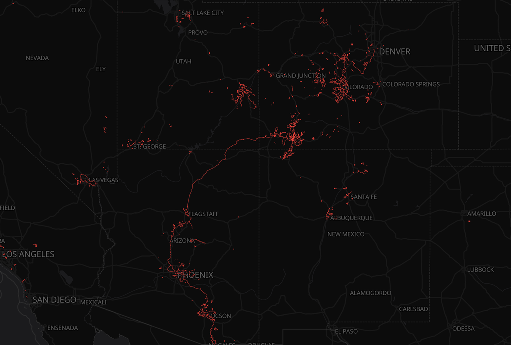
“What if I pedaled roads and trails between all of these trail systems I’ve ridden?” I wondered to myself. “What if I drew red lines on the map and connected everything together, into one massive interconnected web of lines on my heatmap?”
And so Drawing Red Lines was born.
Initially, I drew red lines to connect trail systems in my home region that I’d ridden before. I’d map out obscure trails or rough dirt roads to connect those popular mountain biking spots via lesser-used dirt routes. And sure, when forced to, I’d ride pavement… but the goal has always been to see how much I can connect on dirt.
Then, I decided to level up. Instead of just connecting trail systems, what if I began connecting the different towns and communities together? What if I connected these regions, the various places I’ve lived and ridden over the years, with long-distance red lines?
And so I decided to section-ride from Mexico to Canada.
Mexico to Canada… the long way
Over the years, I’ve lived in multiple towns in Colorado and Arizona (along with many other places), and have spent many weeks riding in other top MTB destinations in these states despite never residing there. I decided to link as many of these nodes on my heatmap as possible while slowly drawing a line all the way from Mexico to Canada.
In its nascent state, the vision was abstract, but I was certain that it would not be the shortest — or easiest — route from border to border. So I sat down at the computer and began sketching out routes.
Not having an easy route to follow was the seed from which the whole idea grew. I didn’t just want to follow the Great Divide Mountain Bike Route or the Western Wildlands Route. I wanted to chart my own course. The adventure, the discovery, was the entire fucking point.
Because I specifically wanted to connect hot spots in Arizona to those in Colorado, I had to get creative. The aforementioned well-developed offroad routes run north/south through each of these states, but unfortunately, they don’t easily connect. The Navajo Nation is a massive barrier smack dab in the middle, with questionable legality for offroad riding, and few connected dirt roads that traverse this ancient landscape in the direction I wanted to pedal. Simply put, connecting the two states would require a lot of pavement pedaling.
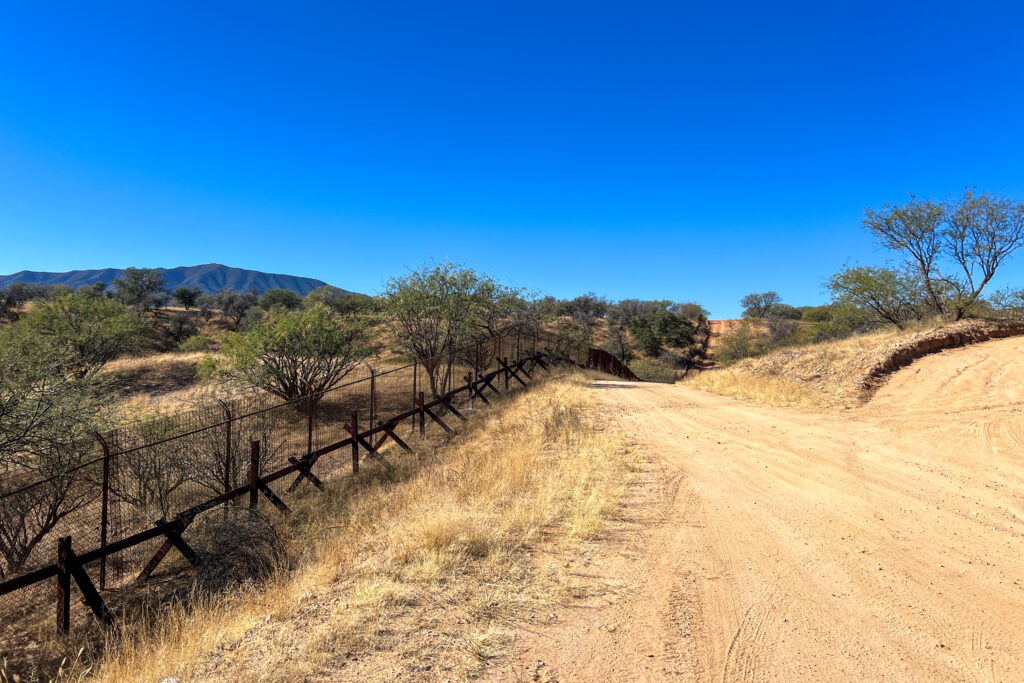
So before I got to the unpleasant pavement, I focused on stitching together dirt connections in Southern Arizona. Over the winter, I pedaled hundreds of miles of disconnected segments across southern and central Arizona, using sections of the Arizona Trail and forlorn dirt roads through the gorgeous Sonoran Desert.
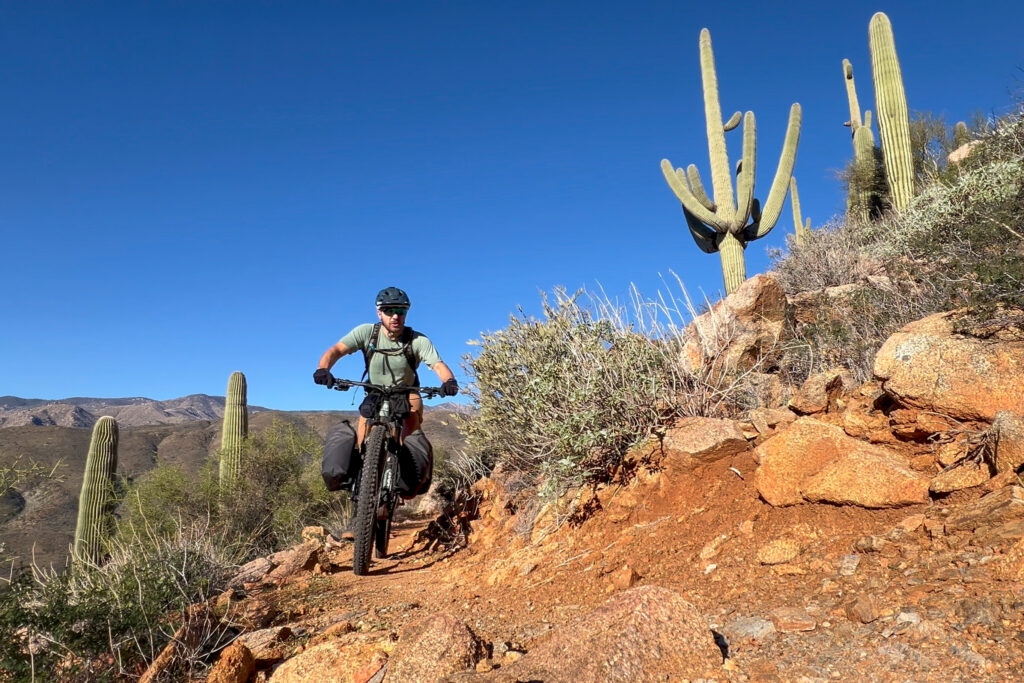
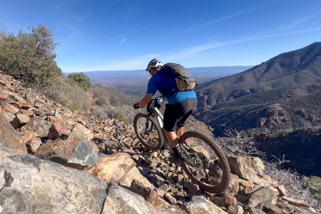
Of these projects, the biggest was a 5-day ride from Sedona to the Phoenix Metro Area, which I mapped out 100% on dirt (and largely on singletrack). The ride traced little-used trails through the desert, climbed up and over formidable mountains, dropped into a rugged canyon, and then wound its way through the suburban sprawl of Phoenix. This adventure was anchored by the Black Canyon Trail, almost 100 miles of which I tackled as an unsupported overnighter. Despite looking logical on the map, the BCT proved to be much tougher than anticipated — a theme that would play out on almost every segment of this epic ride.
Eventually, though, I had to tackle the pavement through the Navajo Nation. This ancient landscape is truly stunning, but for years, I’d simply sped through at 70mph on the way to somewhere else. Which is where my hesitation came from: sharing the road with distracted drivers, all on their way to somewhere else.
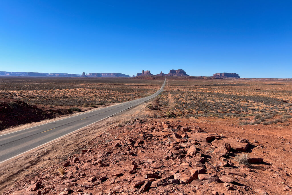
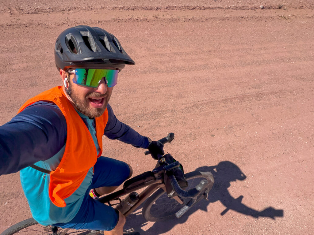
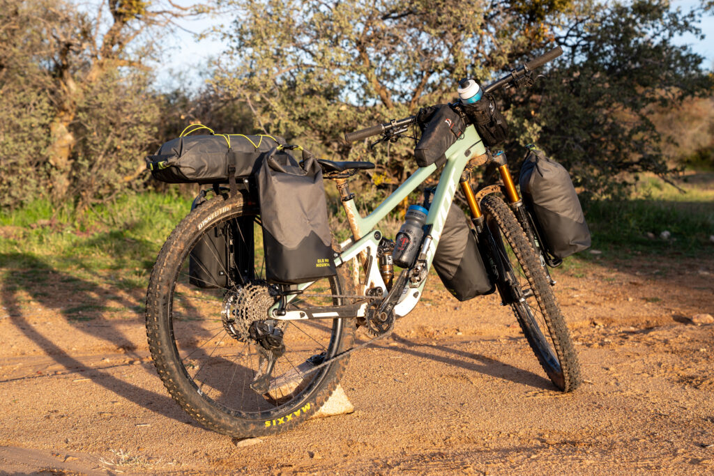
I planned to stay off the pavement as much as possible (with very limited success) and, wherever possible, to ride less-used paved roads instead of the main conduits. The Vault was the perfect companion for this mix of conditions, some of which were entirely unknown before I rolled up to the next turn. Despite my best efforts, I still spent about four days pedaling a few hundred miles of paved highways with high speed limits and very little shoulder.
But I made it without incident!
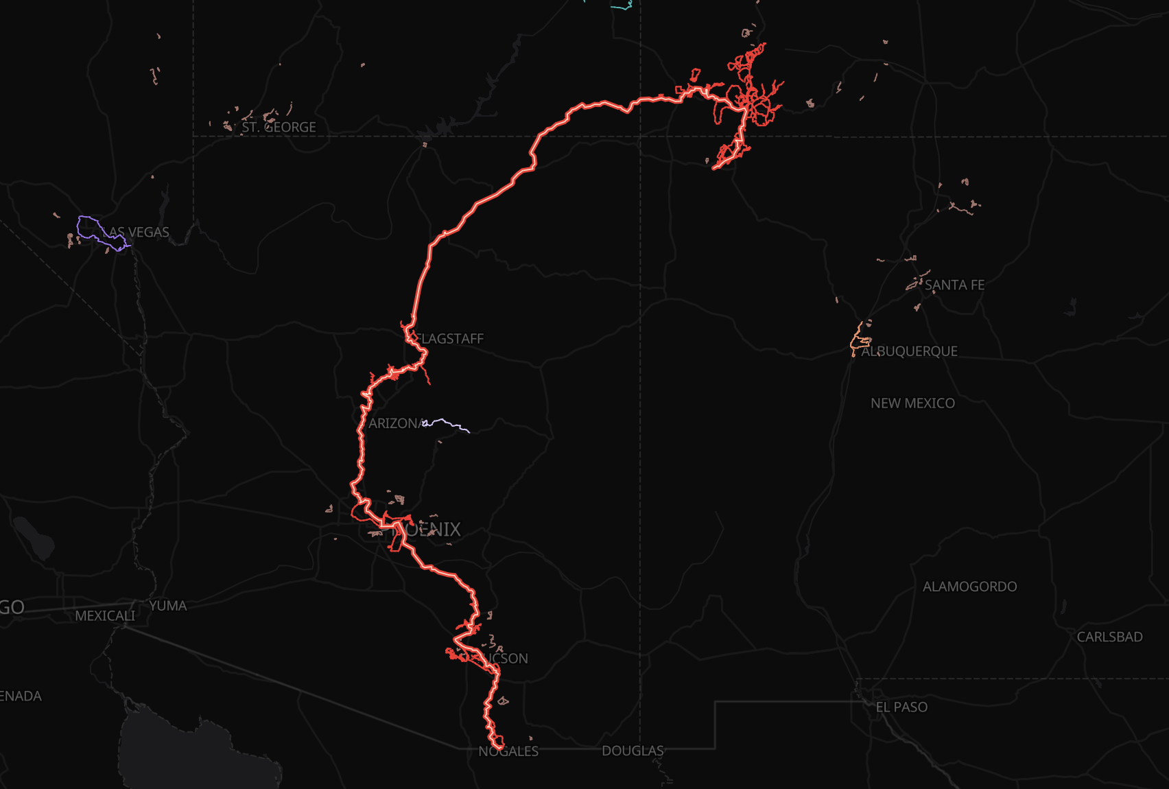
Mexico 🤝 Colorado
After many weeks of winter work, I’ve finally drawn red lines from the Mexican border through the heart of Arizona (connecting Patagonia, Tucson, Phoenix, Sedona, and Flagstaff), up into Colorado (via Cortez and Durango), and finally culminating at Silverton.
This summer, I have my work cut out for me. While I currently reside in Durango, I need to connect this line to my extensive network of red lines in Salida, where I lived for about 6 years. And what better way to connect these two world-class destinations than to bikepack the entire Colorado Trail?
World-class ambitions, not world-class fitness
I know that I’ll never be the fastest bikepacker out there or the rider with the most endurance. Kurt Refsnider and Kait Boyle have that territory on lock. But despite not having world-class fitness, that doesn’t mean I (or you) can’t have world-class ambitions.
The beauty of bespoke goals like this one is that anyone can set such a goal, and anyone can accomplish it. To section ride from Canada to Mexico, or from the Atlantic to the Pacific, you don’t need to pedal it all in one shot. All you need is determination and a refusal to quit. With those qualities, I know that one day, I’ll be able to see that red line stretching its circuitous path from border to border.
Want to draw your own red lines? The Lines Project is launching soon!